
Gazetteer
A Map Based App
Project information
- Project URL: Gazetteer
- Click here for GitHub Repo
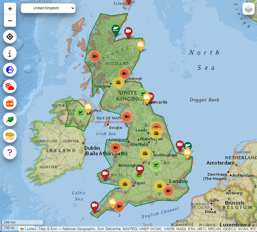
Gazetteer is a mobile first website that will operate equally
well on desktop. This application has a simple and clean UI,
providing intuitive and user friendly navigation.
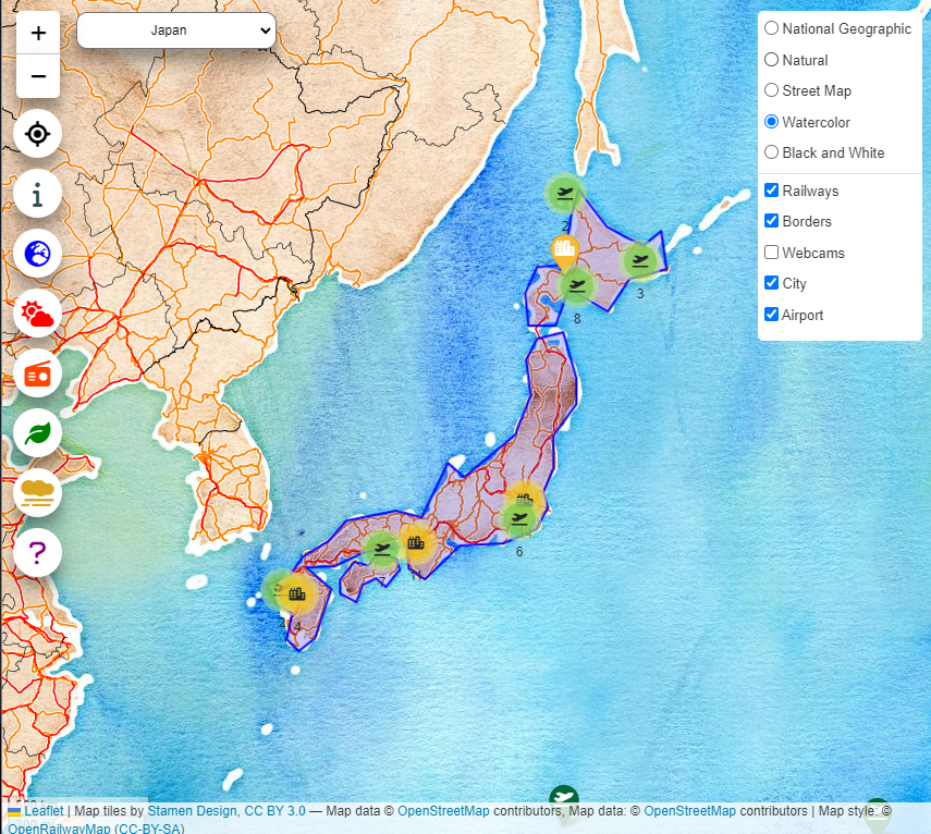
Countries can be selected from a dropdown and relative profiling
information is returned to the user. This information is either
displayed in overlays, for example the country border outline,
or markers designating webcams. Other information about the
country is presented within modals which can be accessed using
onscreen buttons. The application also gives the user a choice
over map style and map layers.
The system uses third party API's and the relevant information
is returned via PHP routines. Calls to these PHP routines are
made using AJAX functions. The Leaflet JS library was used to
create the interactive maps along with plugins such as
MarkerCluster and EasyButtons.